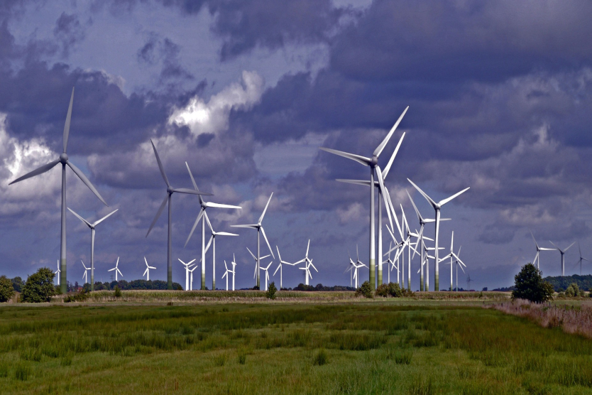
LiDAR technology can help choosing the right spot for a profitable wind farm.
© pixabay
LiDAR technology uses lasers to determine wind speeds, even at very high altitudes. Compared with wind measurement masts, this thus offers a low-cost, flexible and easy-to-install alternative. Nevertheless, certain conditions affect the quality of the measurements: hence, for instance, the accuracy of the measurements is reduced on hilly and woody terrain, while certain weather phenomena such as mist can also reduce the availability of the data.
In LiMeS, the efficiency and accuracy of measurements is to be improved using LiDAR technology. With this in view, the project partners from the field of research and industry are investigating the influence of certain parameters, such as the measurement duration, location, number of measuring points and the measuring technology used, on the quality of the measurement results. Subsequently, a method is to be developed that helps wind farm planners to estimate the overall accuracy and the costs of various measurement strategies.
The first results of the research project, which was initiated mid-2017, are expected mid-2019. The project is a joint venture being carried out by Fraunhofer Institute for Energy Economics and Energy System Technology IEE, Ramboll CUBE GmbH, IB Fischer CFD+engineering GmbH, ABO Wind AG, Deutsche Kreditbank AG, the Philipps University of Marburg and the University of Kassel. The project is receiving 1.1 million euros in funding from the Federal Ministry for Economic Affairs and Energy until June 2010.


